Illustrator: Susana Pales
Description
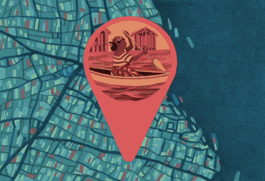
Using drone cartography and data-driven journalism to map a slum in an African megacity.
Context
Makoko, a water-front settlement in the centre of Lagos, Nigeria, is estimated to be home to around 250,000 people, most of whom live in difficult conditions. Despite being only a few kilometers away from the financial center of the city, not far from the oil and gas companies’ headquarters in Victoria Island, the place used to be a blank spot on the map until recently.
A team at Code for Africa, a non-profit organisation working on civic technology and digital transformation in African countries, and its partners worked with the local community to create a bottom-up, open source map of the area using drones, smartphones, and crowdsourcing. Putting themselves on the map was a way for the community to state their right to exist.
Technical details & Operations
Makoko is one of Africa’s most unique inner-city slums, with a third of the community built on stilts in a lagoon off the Lagos mainland, accessible only by canoe. The rest of the settlement is on swampy land with little sanitation and few public services. Makoko is estimated to be home to about 250,000 people, but the government and residents claim the figure is higher. The numbers are hazy because the area appears as a near-blank space on maps — with little information about structures, density, or streets. This means it is almost impossible to properly track land ownership, plan infrastructure, optimise services, plan for emergencies, or support development.
Being a blank spot on the map means authorities never adequately allocate resources to Makoko, or — worse — exploit the lack of awareness to grab the land and displace dwellers. Code for Africa explored a bottom-up mapping project that helped the community fight for their land rights. The project combines data, satellite images, on-the-ground multimedia journalism, and long-form storytelling. In order to make the project happen and amplify its impact, Code for Africa worked with multiple partners: Humanitarian Open Street Maps (HOTOSM), Pulitzer Center on Crisis Reporting, africanDRONE, MakokoDream, CcHUB’s American Corner and The Guardian Nigeria. All partners played a key role in the implementation of the project.
The project began with strategic partnerships and town halls to introduce the project to the community and get their buy-in. This was a critical step, as years of neglect from officials, and individuals claiming to be working for their benefit had affected their perceptions of outsiders working in Makoko.
Once the community was brought on board, Code for Africa team worked with people in Makoko to build their capacity and empower them to join the project. Fifteen local women and seventeen men were trained by the coalition partners to map Makoko using drones, canoes and open data platforms. Throughout the project 990 images captured by drones were uploaded to the OpenStreetMap and Java OpenStreetMap. The Humanitarian Open Street Map volunteers assisted in digitising the images. Additionally, 80 Points of Interest (POIs) were captured using The Open Data Toolkit (ODK) and dataset uploaded to openAFRICA. These POIs include sources of clean water, schools, healthcare facilities, places of worship, town halls and more.
The mapping project was captured in a flagship story produced by media partners the Guardian Nigeria. This piece married drone journalism, geo-journalism, data visualisations and multimedia with first hand narratives of lives in Makoko to expose the challenges faced in the slum to an international audience. The project then received considerable international traction, receiving features in Agency France Press, Aljazeera, CNN, the BBC and the Guardian UK.
Mapping Makoko is an ongoing process. In 2020 the project team returned to Makoko and conducted fresh water samples for analysis, mapping a further 20 clean water sources as POIs in Makoko. The team of Code for Africa would like to continue mapping Makoko through future grant opportunities, as well as to use the collaborative model developed there as a blueprint for future data journalism projects.
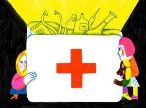
In 2021 two Nigerian medical researchers Dr Ayesha Akinkugbe from Lagos University Teaching Hospital and College of Medicine, University of Lagos and Dr Obianuju Ozoh from The Lagos University Teaching Hospital, in collaboration with Code for Africa’s Knowledge team, conducted scientific research on the ground. The research was to determine the enablers and barriers to the Covid-19 vaccine uptake in the Makoko informal settlement in Nigeria. The aim of the research was to promote Covid-19 vaccination and inform vaccine engagement strategies for this marginalised community.
Deployment & Impact
Organising interventions in Makoko on public health in a place where hundreds of thousands of people live without a map would be almost impossible. One of the intuitions behind the map was response to emergencies. Code for Africa team thought that the map could be useful in the case of a climate crisis. With the rising level of the sea, these people will be facing huge problems. But also in a case like the COVID-19 pandemic, the map can be used as a tool by international organisations and also by the local government to organise support and distribute resources to the community, as proven by the University of Lagos (UNILAG) medical researchers who leveraged the Makoko’s open data to conduct field research.